Raw land is the last asset class you still have to buy half‑blind.
A house has comps, disclosures, an inspection. A hundred acres of scrub has a plat map and whatever the seller feels like telling you. We built the missing file — slope, flood, soil, access, timber, ownership — for every undeveloped parcel in the county, before you ever get in the truck.
data points on every parcel — slope, flood zone, soil and septic, road access, timber, wildlife, owner type
federal, state and county sources behind those fields, every one of them named in the parcel view
undeveloped parcel in a county we cover, checked against the assessor's own improvement records so a house never sneaks into your search
How a parcel gets its file
Every parcel boundary, owner of record and land appraisal come straight from the county assessor's own GIS. No scraped listings, no aggregator middleman.
We sample federal datasets at each parcel's own coordinates — elevation at five points to derive slope, soil series for septic, wetlands, flood, timber, wildlife.
Each parcel is rated prime, marginal or unsuitable — and every rating names its reasons, so you can disagree with the model instead of trusting it.
Then it all fits on one screen
Open any parcel and the whole file is there — terrain, hazard, access, ownership — next to an assistant that reads the same fields you do.
See the full product →The land itself
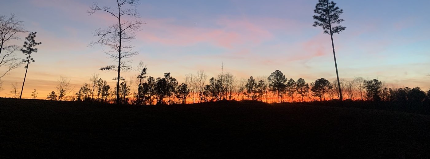
Pine, hardwood and open ground — what the data is actually describing.

Every number has a source
We would rather tell you exactly where a figure came from than have you discover its limits on site. Each field carries its provenance in the parcel view.
Know the ground before you stand on it.
Free accounts read five full parcel files a month. New counties come online one at a time.